August 2015 Post-Flooding Photos

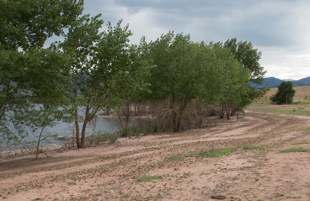
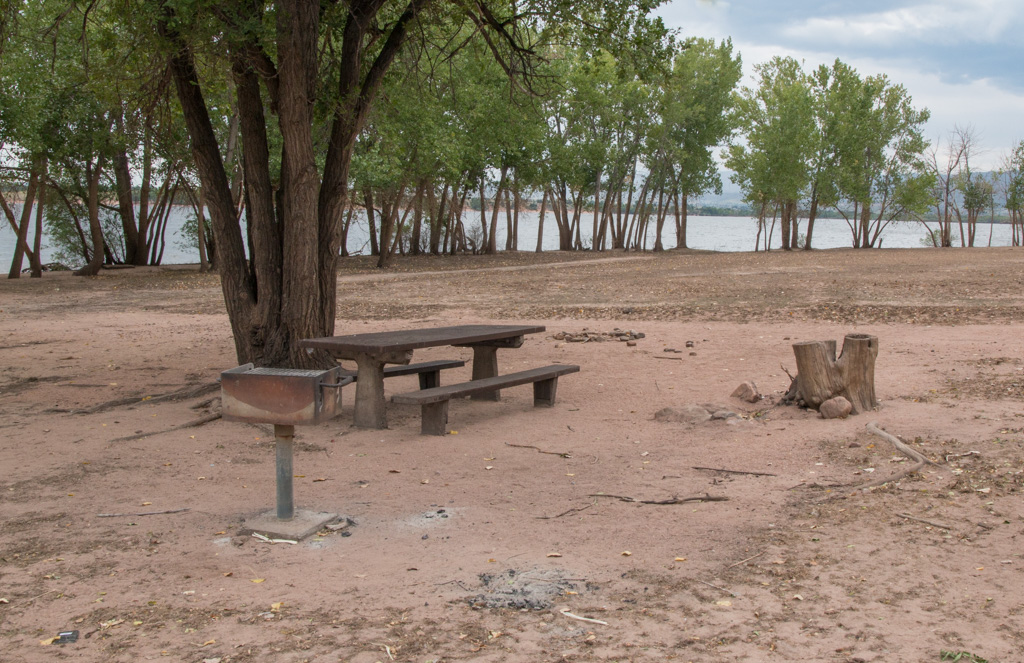
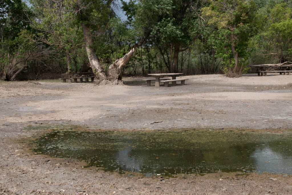
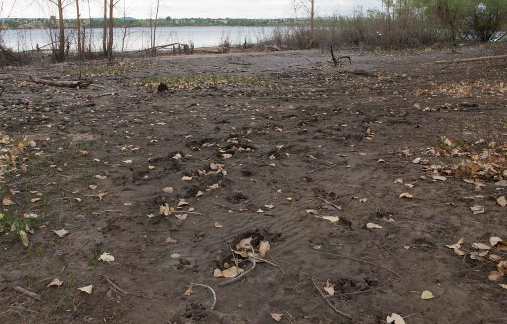
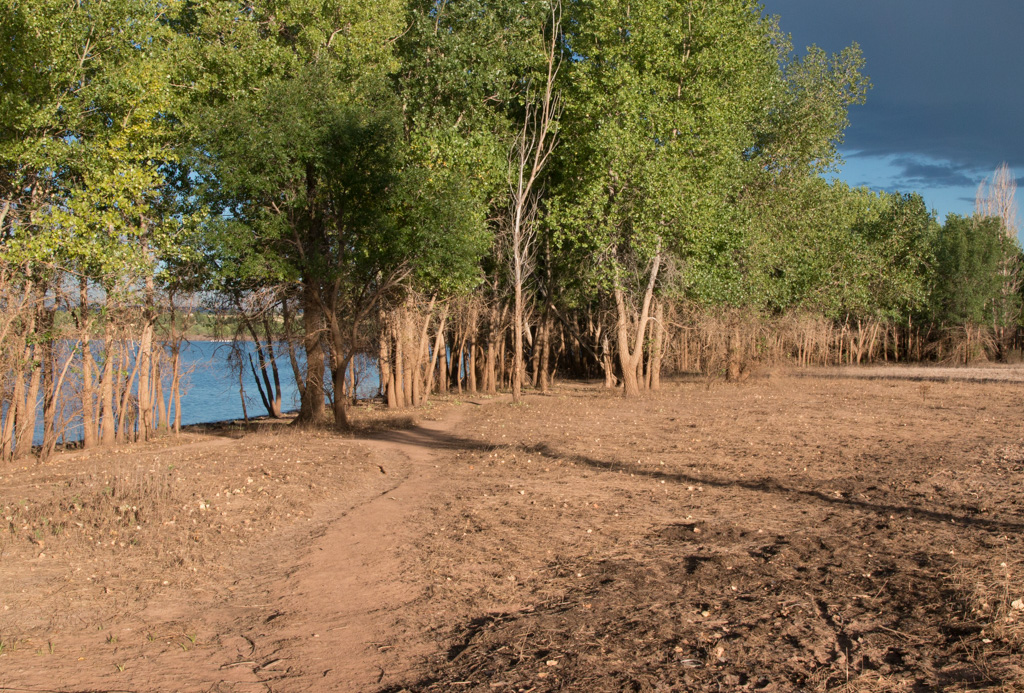
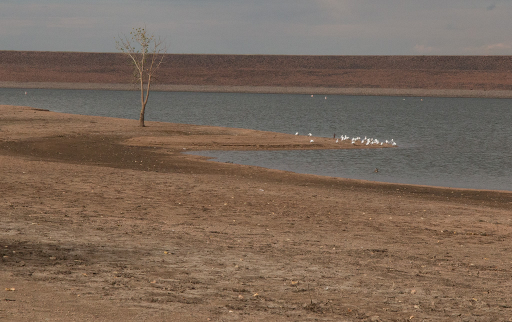
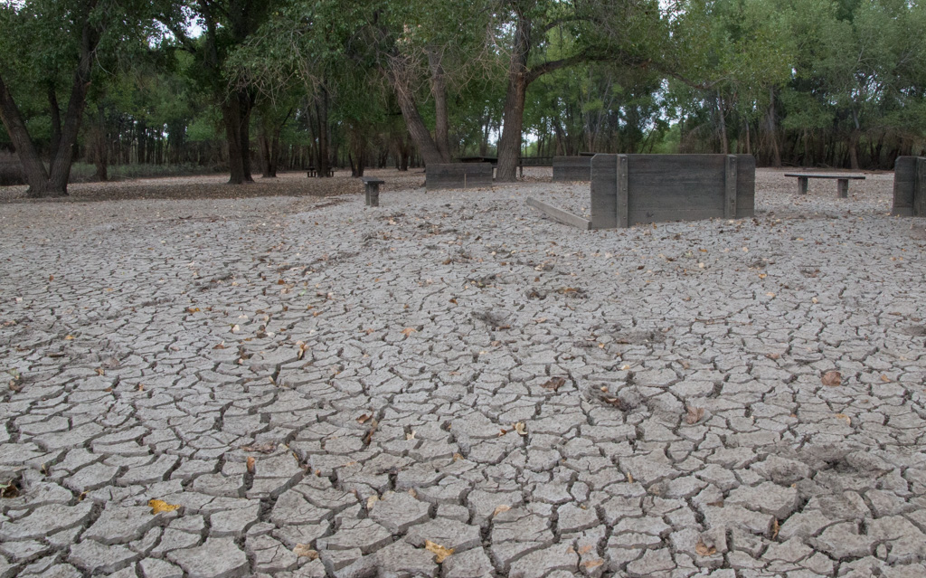
In 2015 an unusually wet spring coupled with rapid snowmelt forced Chatfield Reservoir to be used for its primary purpose — flood control.  By August 3 when the following photos were taken, high water levels had returned to normal. Changes resulting from the flooding offer some indication of the effects reallocation would have in the 7 years out of 10 when no additional water would be available to store in the reservoir.

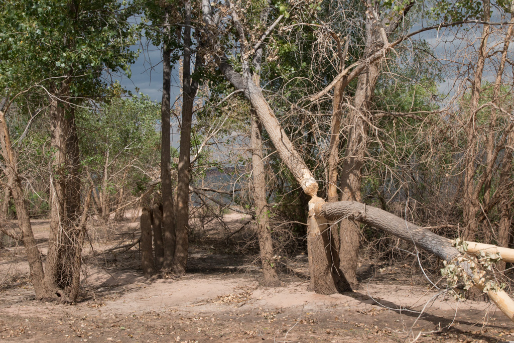
One obvious effect of the flooding is that it killed lower branches on trees that were partially submerged. If high water levels were maintained in the reservoir for the longer times anticipated by the reallocation plan, these trees would likely die completely. Approximately 296 acres of trees deemed most likely to die would be cut down and removed as part of the reallocation project.

Chatfiled Shoreline
The Chatfield shoreline viewed from the a spot near the North Boat Ramp. The reallocation project would remove these trees and many others close to the shore.
Massey Draw Picnic Area
Massey Draw Picnic Area. Reallocation would likely eliminate all the trees in this photo as well.
Eagle Cove
Trees near Eagle Cove. Reallocation would significantly impact wildlife in Chatfield State Park. Notice that beavers apparently cut down two of these trees while they were partially submerged.


Deer Creek Picnic Area
Remaining puddle and mud at Deer Creek Picnic Area.
Catfish Flats
Mud at Catfish Flats.
Shore Near Fox Run
The shore near Fox Run. Imagine what this pleasant path along the shore would be like without trees.
Peninsula Near the South Boat Ramp
Gulls on the peninsula east of the South Boat Ramp.
Horseshoe pits at the Plum Creek Picnic Area.
Horseshoe pits at the Plum Creek Picnic Area. Reallocation plans call for this area to be submerged during wet periods that occur in about 3 years out of 10. The rest of the time it would look much like this — but likely without the trees.