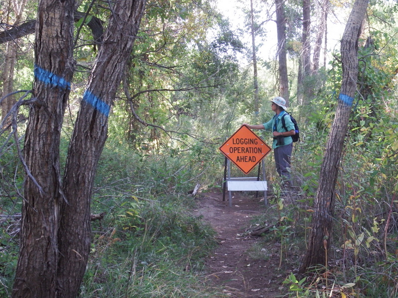
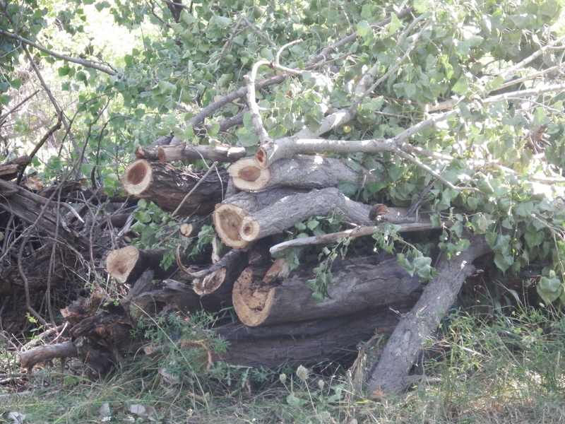
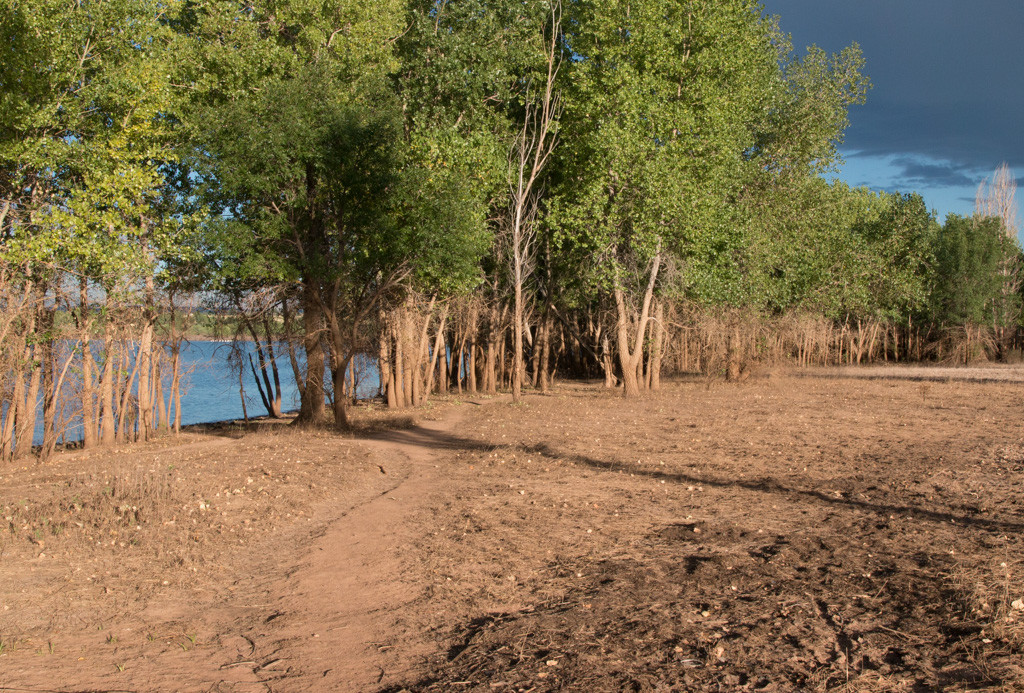
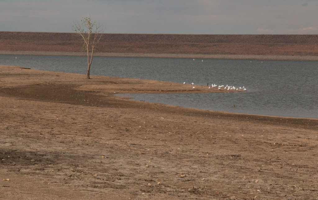
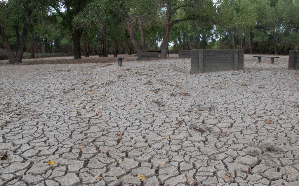
The following photos were taken on the east side of the South Platte River in September 2018.
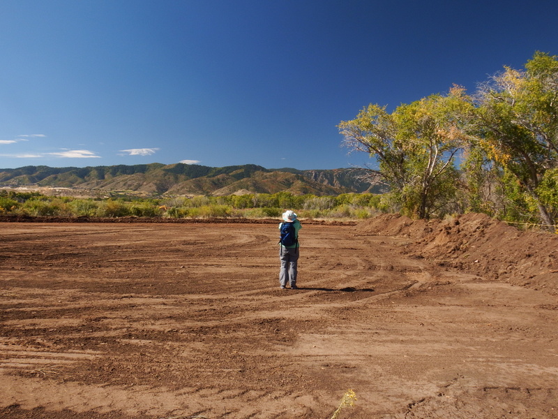
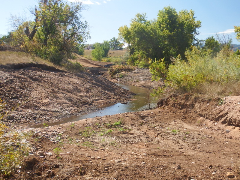
The following photo was taken in October 2018
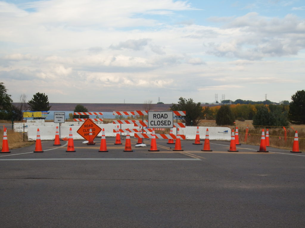
The following photos were taken on the east side of the South Platte River in September 2018.


The following photo was taken in October 2018

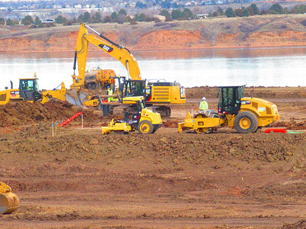
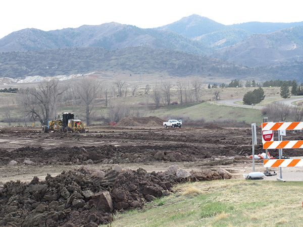
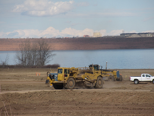
Much of Chatfield State Park continues to be closed closed for construction associated with the Chatfield Reallocation Project. The swim beach, which had been scheduled to re-open on Memorial Day 2018, will be closed for the summer.
The following photos were taken in April 2018.
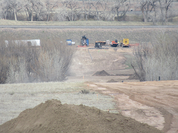
A map showing closed areas is available at https://chatfieldreallocation.org/construction/.
Much of Chatfield State Park is now closed for construction associated with the Chatfield Reallocation Project.
The following photos were taken during December 2017 and January 2018. At Plum Creek efforts are being made to stop stream downcutting. It’s not clear what is being done at Deer Creek. The North Boat Ramp is also being redeveloped.
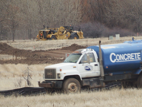
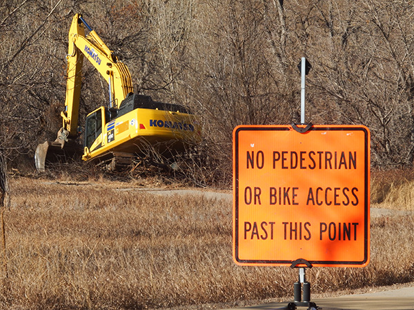
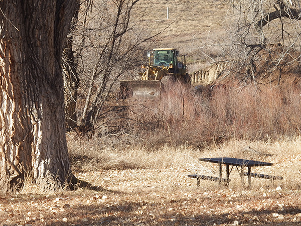
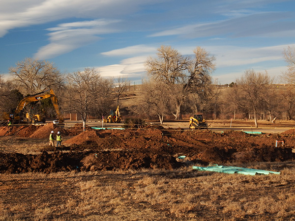
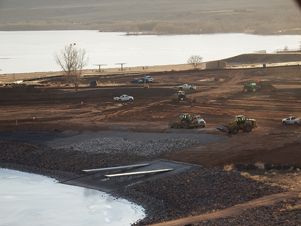
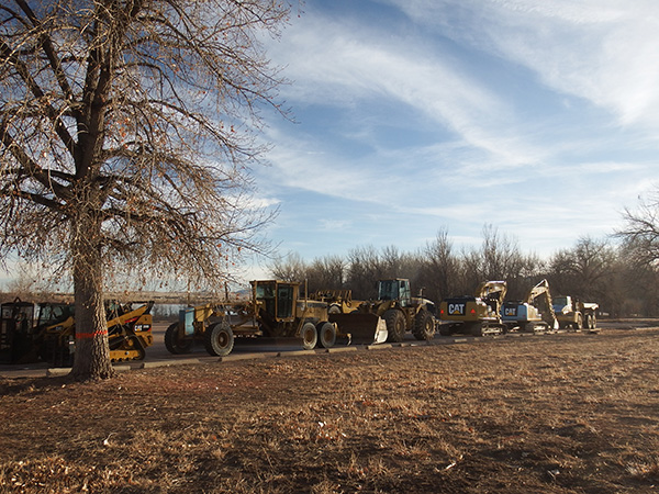
A map showing closed areas is available at https://chatfieldreallocation.org/construction/.
Comments on the Chatfield Reallocation Mitigation Company’s Open House, May 30, 2017
From the Audubon Society of Greater Denver
The Proposed Mitigation is Better, But Our Basic Concerns Remain
In a 2.5 hour session on the evening of May 30, 2017, the entity known as the Chatfield Reallocation Mitigation Company presented current plans for mitigation of the Chatfield Reallocation project. It was a very slick presentation with good visuals and experts to answer questions, and it answered some of the concerns we have voiced for years. However, there was no opportunity for the public to submit comments.
What’s better:
However, our basic concerns remain:
The visuals for the recreational mitigation have been posted on www.chatfieldreallocation.org. As of June 5, the environmental mitigation visuals, the schedule of work and the Ecological Function Unit calculations used to plan the environmental mitigation had NOT been posted for future reference.
Planning for Chatfield Reallocation is ongoing, even though the Audubon Society of Greater Denver (ASGD) has taken the US Army Corps of Engineers to court. In late August, contractors came in and pumped 18 inches of water out of Blackbird (also called Discovery) Pond in the southwest corner of Chatfield State Park. ASGD uses the pond under a State special use permit for its environmental education programs. Water was also pumped out of “Turtle Pond”, a former stock pond near Plum Creek well known to birdwatchers.
Blackbird Pond, a popular fishing spot, is the home of several American Beavers. Northern Leopard Frogs, a Colorado species of special concern, also live in the area. The pumping was only discovered because ASGD staff members taking visitors on a tour of the area saw the pipes being removed. (The Corps had notified the ASGD legal team in March that “two ponds will be drained” but nothing more specific was included in the description.)
Inquiries to the Corps of Engineers, the Colorado Water Conservation Board and the Chatfield State Park staff revealed that the pumping was a “test” to see if water from those ponds could be used to replace wetlands that will be destroyed by the Reallocation. Because the water levels in the ponds have been slow to recover, the tentative answer is NO, although that could change.
ALERT: Please be on the lookout for any activity such as pumping water, earth-moving, tree-cutting, road-building, and other destruction/construction in Chatfield State Park. If you see such activities, please contact us and report them to the ASGD office at 303-973-9530 immediately.
In 2015 an unusually wet spring coupled with rapid snowmelt forced Chatfield Reservoir to be used for its primary purpose — flood control. By August 3 when the following photos were taken, high water levels had returned to normal. Changes resulting from the flooding offer some indication of the effects reallocation would have in the 7 years out of 10 when no additional water would be available to store in the reservoir.
One obvious effect of the flooding is that it killed lower branches on trees that were partially submerged. If high water levels were maintained in the reservoir for the longer times anticipated by the reallocation plan, these trees would likely die completely. Approximately 296 acres of trees deemed most likely to die would be cut down and removed as part of the reallocation project.
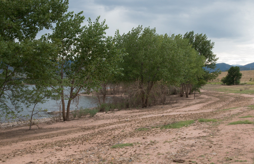
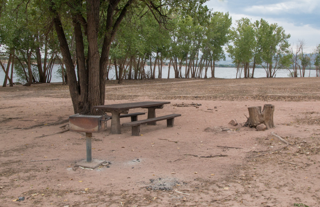
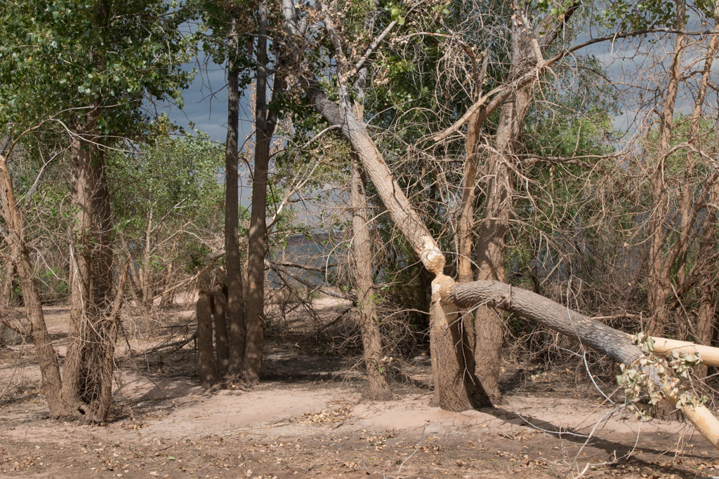
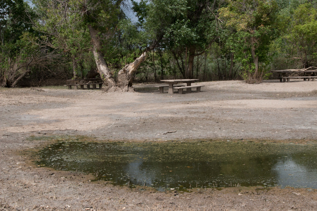
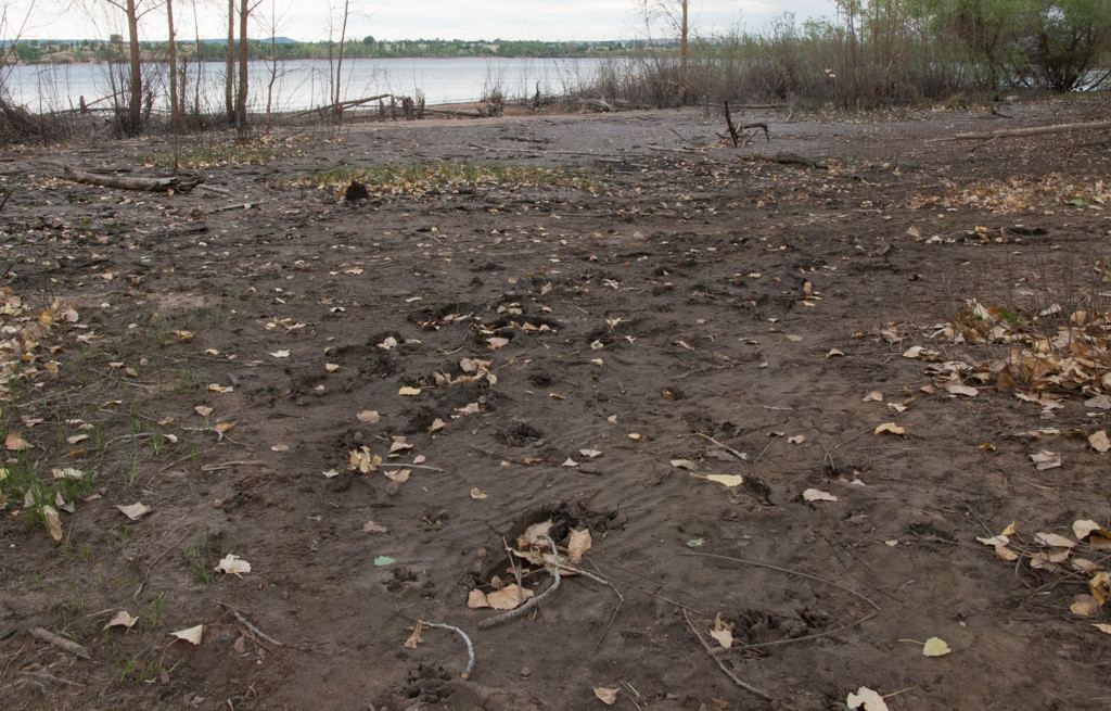
In an earlier post we shared some May 2015 photos of high water in Chatfileld Reservoir. In June 2015 the Chatfield water level broke the record of 5447.6 feet set on May 25, 1980. At 8 am on June 18, 2015, it was 5448.4 feet and slowly continuing to rise. The west side of Chatfield State Park, including the main entrance off Wadsworth Boulevard, was closed. 5448.4 feet is 16.4 ft. above the current storage level of 5432 feet and 4.4 feet above the 5444 foot storage level proposed by reallocation plans.
Several links to news coverage of the flooding are listed below. Imagine what this would be like if these flood waters were added on top of a reservoir that was already filled to 5444 feet.
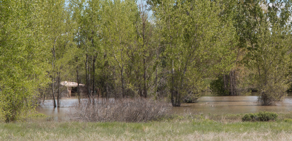
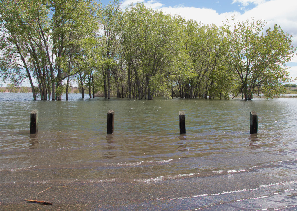
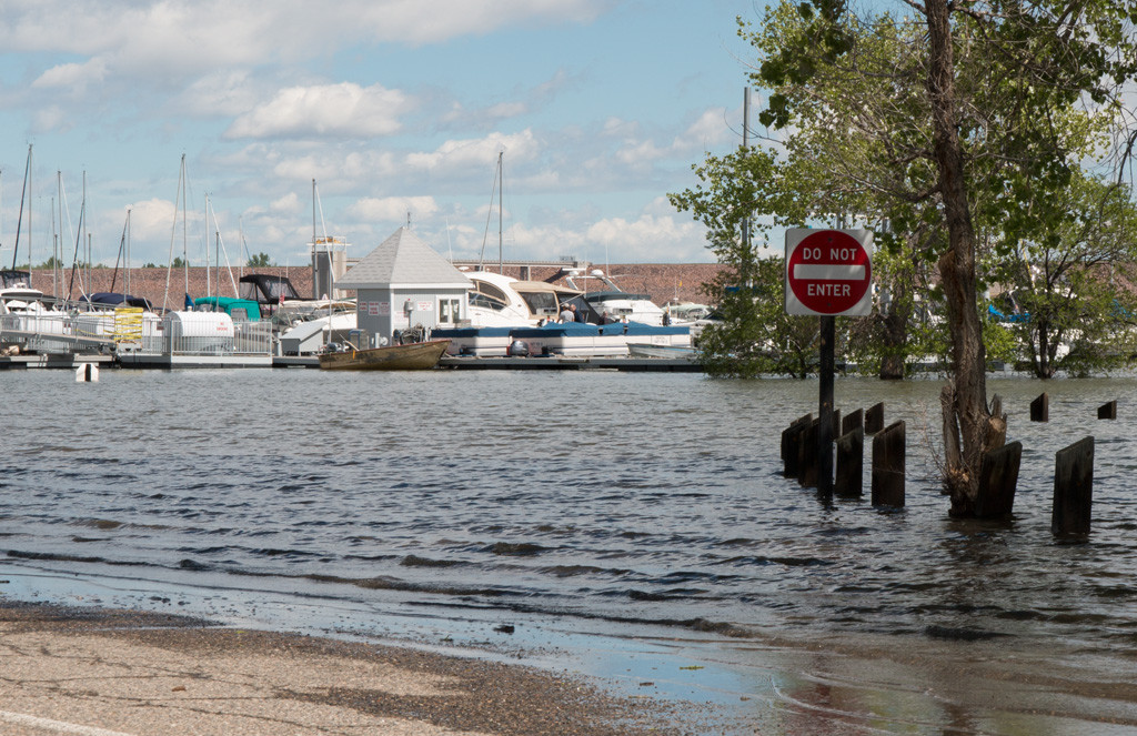
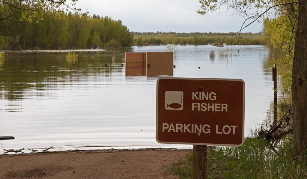
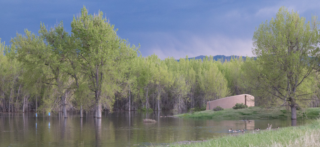
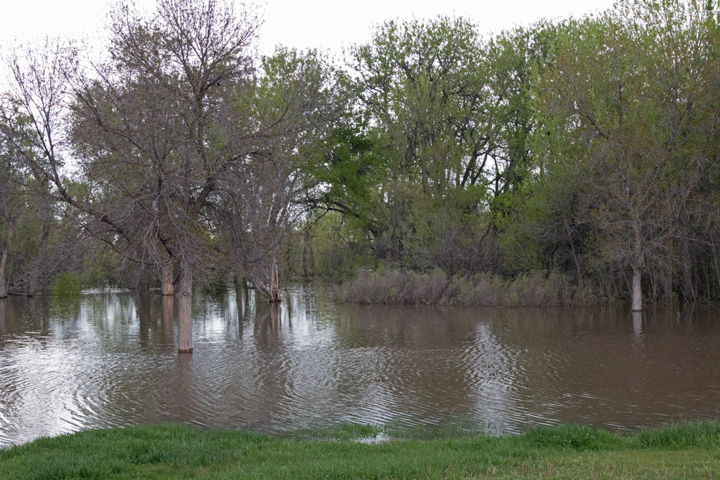
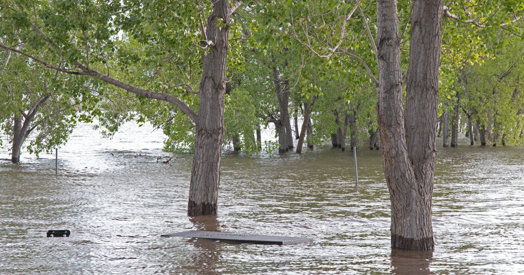
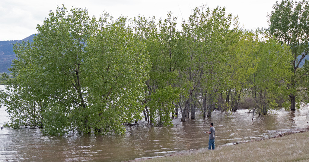
Unusually high precipitation combined with spring snow melt caused the water level in Chatfield Reservoir to reach a height of 5440 feet above sea level in May 2015. This is 4 feet lower than the maximum storage elevation of 5444 feet proposed by the Chatfield Reallocation Project. However, the following photos give some sense of parkland that reallocation would destroy.
Please keep several things in mind while viewing the photos:
Click photos to display a larger version. Use your browser’s back button to return to this page.
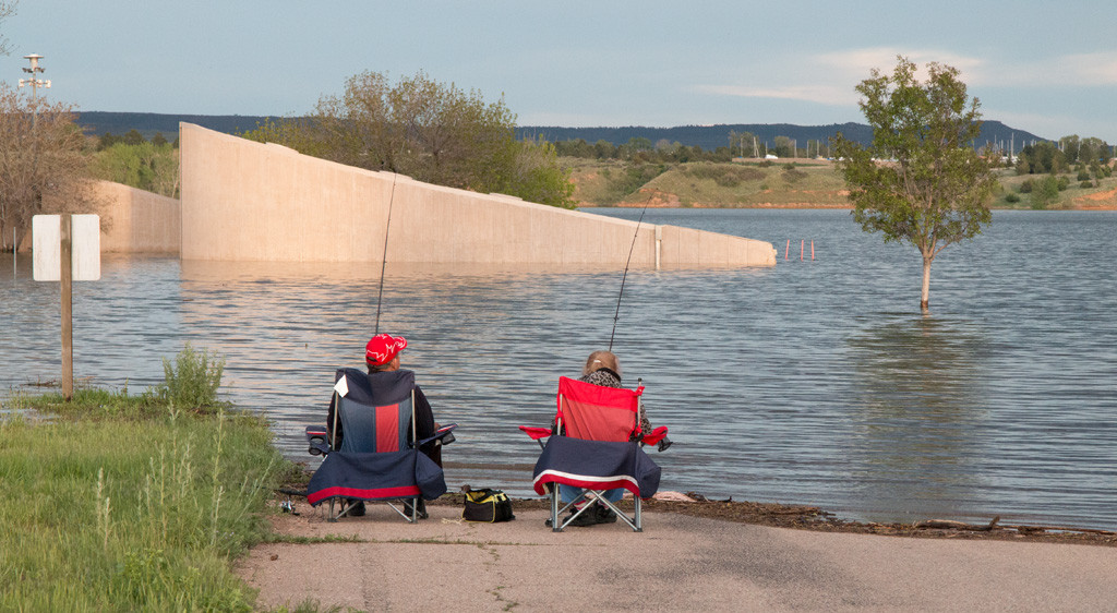

 Limited numbers of free Save Chatfield State Park bumper stickers are available at the following locations:
Please see links for hours and maps.
Please contact us if these locations are inconvenient for you. We may be able to arrange to get you a bumper sticker some other way.
In a presentation given in June 2009, the Army Corps of Engineers noted the Chatfield Reallocation Project’s low reliability and high mitigation costs. At Chatfield, dependable yield from “natural” sources was 0.
A study covered in the presentation examined 82 reallocations at 29 lakes and found an average annual cost per acre-ft of $230, with a range of $50 to $980 per acre-ft. Using the same costing methods, the average annual cost for storage at Chatfiled would be $14,300 per acre-ft! (2009 prices)
One would think that these fundamental observations might prompt the Corps to conclude that Chatfield Reallocation is not a worthwhile project to pursue. Instead the Corps decided to issue a policy waiver to reduce the price it charges for storage. This change obviously makes the project appear more favorable than it really is.
A PDF version of slides used in the June 2009 is no longer available at its original address on the Corps website (http://www.corpsresults.us/docs/CleanWaterSupplyWorkshop/Cone%20Chatfield-Storage-cost.pdf). However, a copy is available here.
The only mention of zero dependable yield that we’ve found in the Draft Environmental Impact Statement is buried in Appendix BB:
Common measurements of dependable yield include: 50-year low flow; 2% chance; 98% reliability; 7-day-10-year low flow. At Chatfield, all of these measures of dependable yield are 0.